Avaya
Women’s Safety Navigation
A safety-first navigation platform that scores routes using real-world risk signals and provides one-tap SOS escalation.
 React 19
 PostgreSQL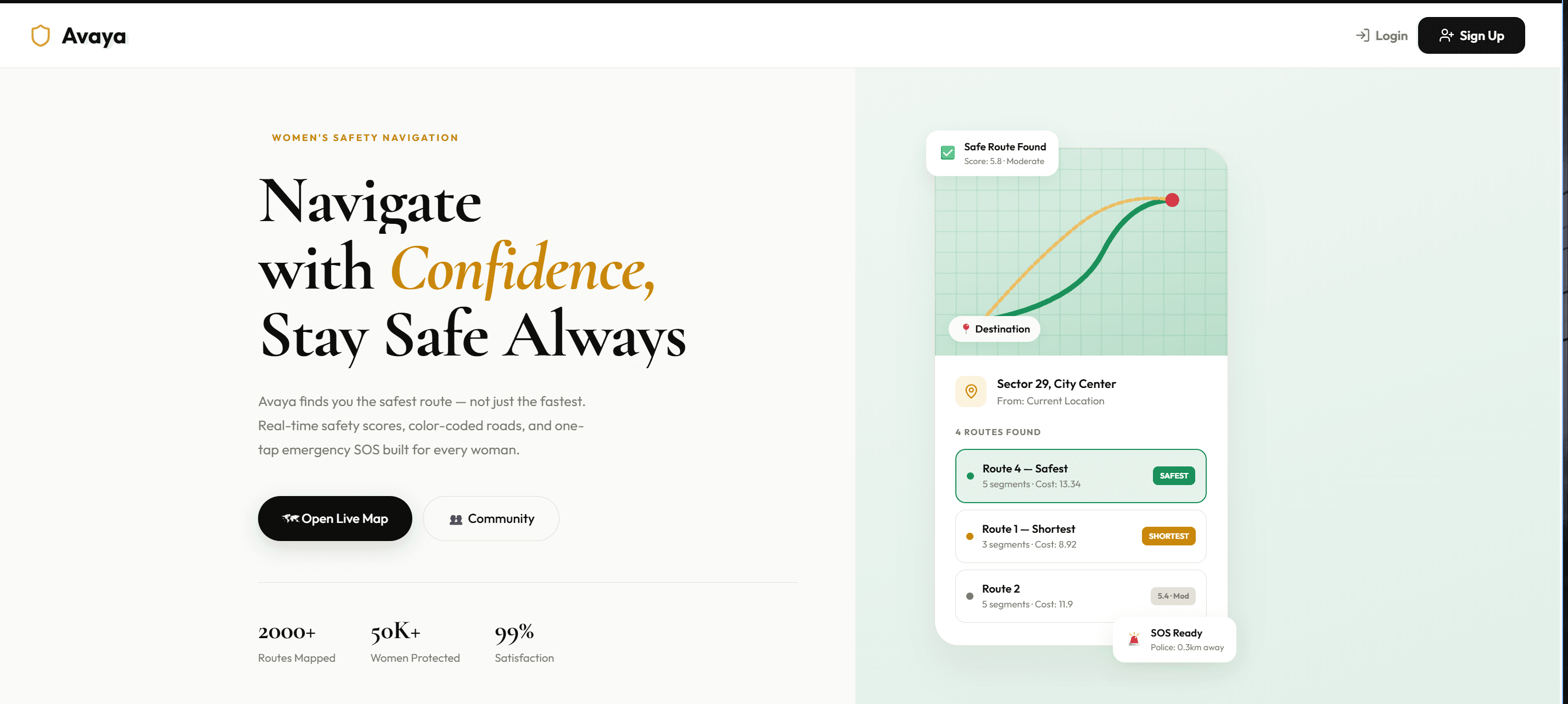
Avaya helps women navigate cities with confidence by prioritizing route safety over pure travel time. It continuously evaluates road segments and exposes route tradeoffs clearly before a trip begins.
How it's built
React + Leaflet frontend with Clerk authentication, backed by an Express API. PostgreSQL/PostGIS and pgRouting power geospatial computations, nearest-service lookup, and dynamic route safety scoring.
What it does
- Safety-vs-shortest route comparison
- Time-aware road risk adjustments
- One-tap SOS emergency dispatch
- Community reporting and alerts feed
Where it got hard
Designing a scoring model that remains explainable while adapting to time-of-day and contextual incident density in real time.
I learned how to model multi-factor urban safety signals into interpretable scoring logic users can trust under high-stress decision making.
What's next
Add predictive risk heatmaps, trusted-circle notifications, and richer municipal data integrations for more precise routing.